What is on today, and where · Observed State
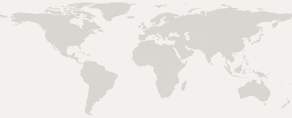
The same two lists from the front page, on the map. Tap a flag and you get what its row says, with the link to the event's own site.
…
Events
Festivals
Unplaced
The full list, which is how this is actually used on a phone.
How each flag is placed
The city is looked up in a public gazetteer (Natural Earth). When the city is not there, the flag goes on the country, and the card says so. Measured over the 385 records published since these two sources have existed: 262 land on their city and 117 on their country.
And six cannot be placed at all, because they are tours whose country is not a country: "Ireland and the United Kingdom", "Worldwide". Those are listed at the end instead of disappearing — the count above says how many there are each day, which is the only thing that stops a map from drawing twenty-seven out of thirty-three with nobody noticing.
A world map on a phone cannot separate nearby cities, and there is no fixing that. At that width one pixel is about 110 km: Busan and Fukuoka land two pixels apart. Merging them would be a lie — they are in different countries — so both are drawn, on top of each other, and the list above is the one you can actually use with a thumb. The map is the summary; the list is the tool.
← Back to the index